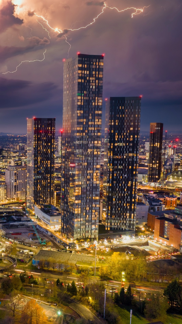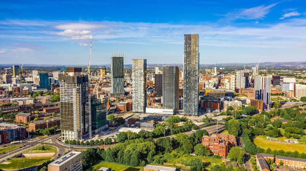

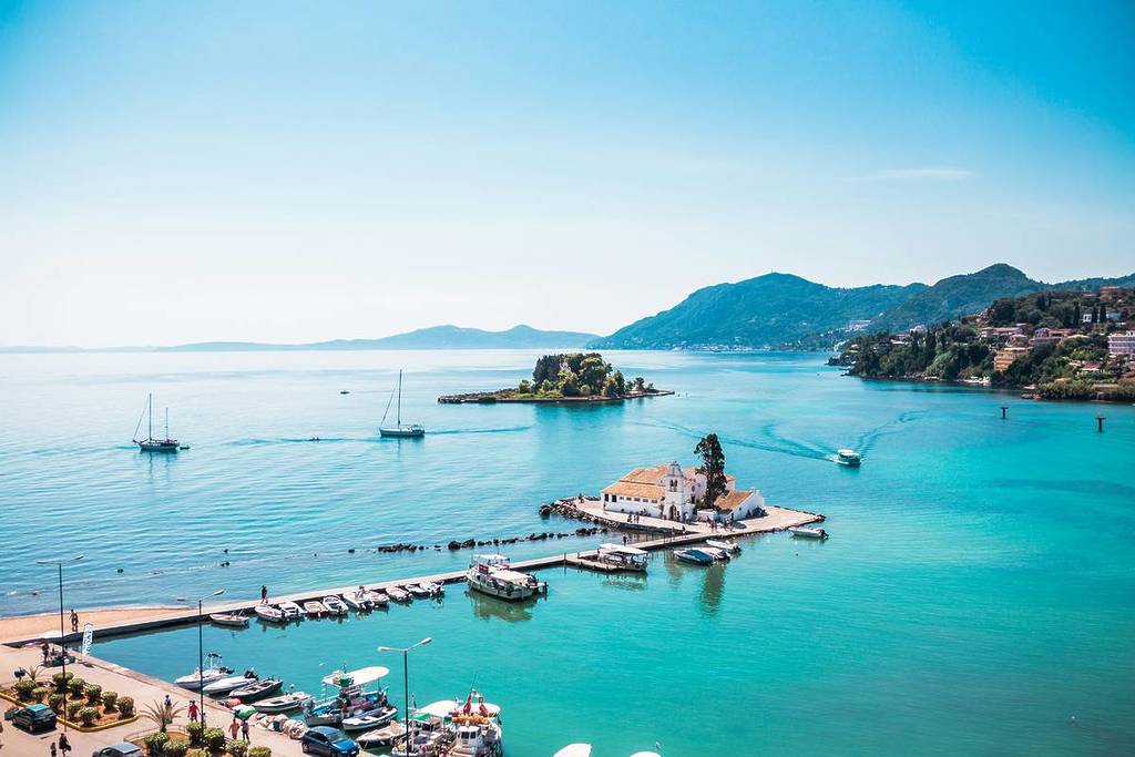
If you thought our spell of summer was over in Manchester, you’d be wrong, because our great city is about to heat back up once again just a week after we last whipped out our sunnies and headed for the nearest rooftop. This Friday (1st May) is set to gift us a May Day for the ages, with temperatures hitting 24°C – that’s a whole 5°C hotter than the popular Greek holiday hotspot of Corfu!
We can already feel the temperature rising, with today peaking at 19°C and Thursday getting to 22°C, but Friday is set to get us into proper heatwave territory with 24°C on the cards. Friday morning will bring gorgeous blazing sunshine, but the real heat of the day will come later between 1pm-6pm when the sun becomes dappled by cloud.
Met Office forecast for the North West this week
Today (29 April)
Any early mist and fog patches will quickly clear this morning to leave blue skies. Winds will strengthen in the south but it will feel warm in any sheltered spots. Maximum temperature 19 °C.
Tonight
Staying dry tonight with largely clear skies, although a veil of high cloud will move over at times. A patchy rural frost is possible in the coldest spots. Minimum temperature 0 °C.
Thursday (30 April)
Another dry and sunny day across the region. After a chilly start, it will warm up through the day, although a brisk wind will make it feel fresh in places. Maximum temperature 21 °C.
Outlook for Friday (1 May) to Sunday (3 May)
A warm day on Friday and a little more humid with lighter winds. Turning increasingly cloudy through the weekend with an increasing risk of heavy showers, possibly thundery.

As is the way, what goes up must come down. As the Met Office forecasts, that warm air is set to bring us plenty of unwelcome rain, with thunderstorms forecast for some areas. So enjoy the sun whilst you can, because come the latter half of the weekend, we could be stuck indoors for the rest of the bank holiday.